About Mapics
Mapics is an innovative iOS app that brings your photo memories to life by displaying them on an interactive map based on their GPS coordinates. Whether you're documenting a vacation, tracking your daily adventures, or simply organizing your photo collection geographically, Mapics creates stunning visual narratives of your journeys.
Key Features
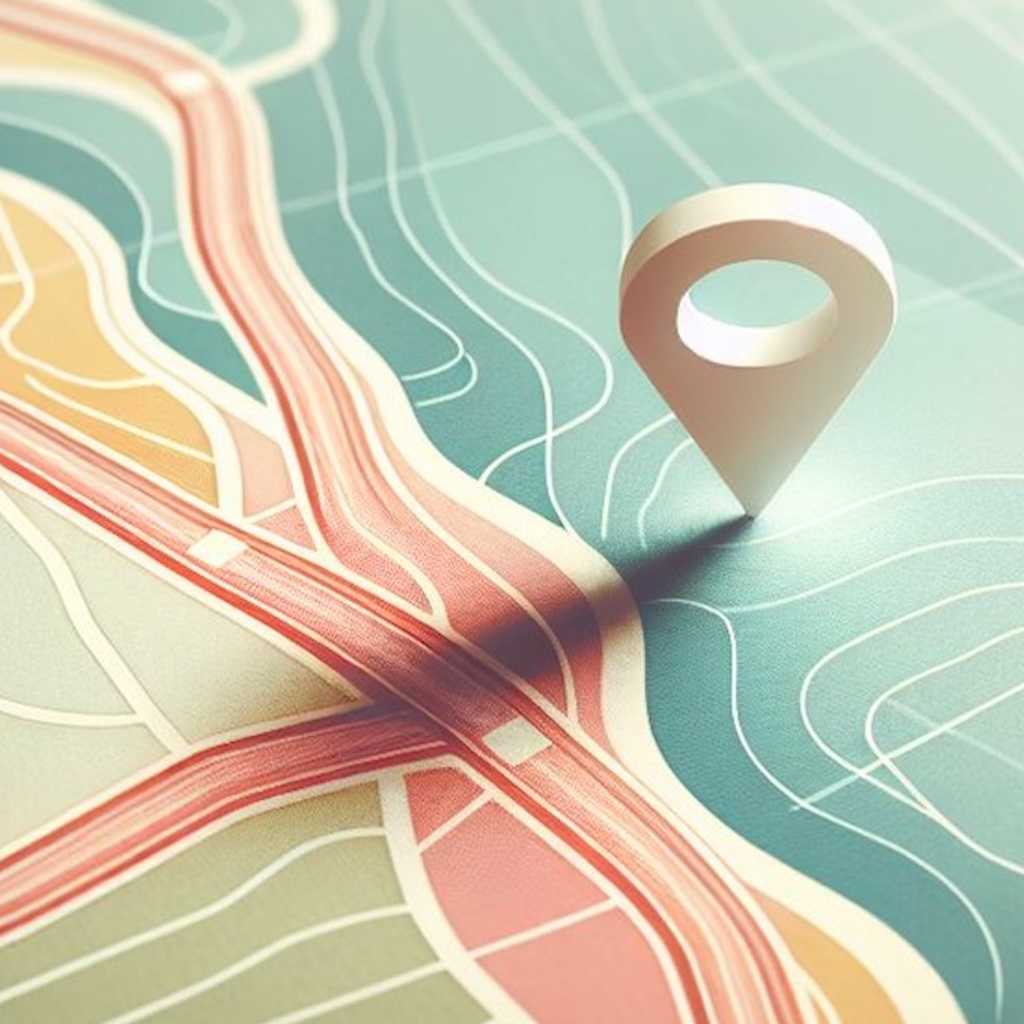
📍 GPS Photo Mapping
Automatically displays photos on a map using their embedded GPS coordinates, creating visual stories of your travels and adventures.
🗺️ Multiple Map Styles
Choose from Standard, Satellite, and Hybrid map views with customizable appearance settings including light and dark modes.
🔗 Photo Connections
Connect your photo locations with straight lines, curved paths, or even walking routes to visualize your journey paths.
🎨 Customizable Markers
Personalize your map with different marker icons, colors, and sizes to make your photo locations stand out.
📸 Smart Photo Selection
Easily select photos from your library with intelligent duplicate detection and metadata extraction for accurate timestamps.
📱 Screenshot Capture
Capture beautiful screenshots of your mapped photos to share your journeys with friends and family.
How It Works
- Select Photos: Choose photos from your library that contain GPS location data
- View on Map: Photos automatically appear as markers on an interactive map
- Customize Display: Adjust map style, marker appearance, and connection types
- Explore Your Journey: Zoom, pan, and interact with your photo locations
- Share Memories: Capture screenshots to share your mapped photo journeys
Perfect For
- Travel bloggers and photographers documenting their journeys
- Adventure enthusiasts tracking their outdoor activities
- Anyone wanting to visualize their photo collection geographically
- Creating visual stories of vacations, road trips, and special events
- Educational purposes for geography and location-based learning
Technical Features
- Native iOS app built with SwiftUI and MapKit
- Automatic GPS coordinate extraction from photo metadata
- Real-time walking route calculation using Apple Maps
- Intelligent duplicate photo detection
- Privacy-focused design with local photo processing
- Optimized performance for large photo collections